July 15, 2009 – Muir Snowfield, Mt Rainier

Mt Rainier’s scenic south side…
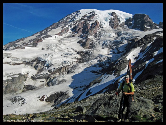
Matt & the Nisqually Glacier

After a sweet trip to the Fryingpan Glacier on Monday-Tuesday, Andrew and I headed to the southside of Mt. Rainier to check out the remnants of the Muir snowfield. We camped at the Cougar campground after a good meal at one of the small town on the southeast side of the mountain. That evening we had a small fire and enjoyed a beer while taking it easy. The next morning, we made the short drive up to Paradise – what a difference compared to the east side of the mountain. There were quite a few people in the parking lot, a little reminiscent of the south side of Mt Hood (without the lifts of course). We hit the Paradise trail the trail by 6 am and it was clear the snow was pretty thin. Here’s a shot of the mountain from above the parking lot….
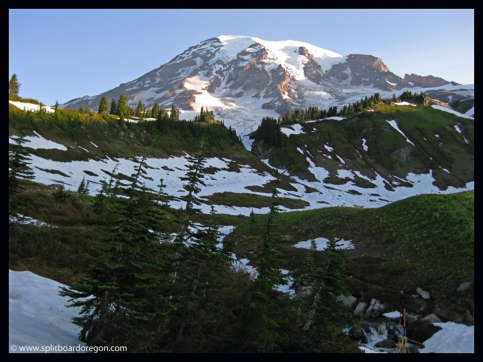
Mt Rainier from Paradise

We hiked on the dirt trail for a good portion of the climb. Soon we made it to Panorama Point and were soaking in the views. After gaining a couple thousand vertical feet, we were able to switch to skins.
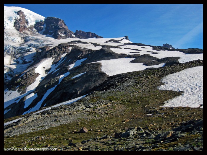
The Muir Snowfield

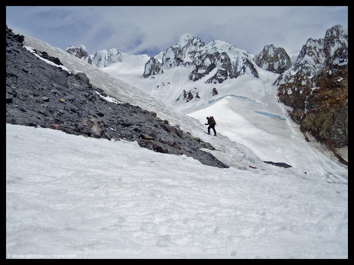
We climbed to just below Anvil Rock, where we lounged and took a rest break and snapped a few photos. Snow conditions were really starting to deteriorate, and there were major sun cups higher up, so much so that we felt it didn’t warrant climbing any higher.
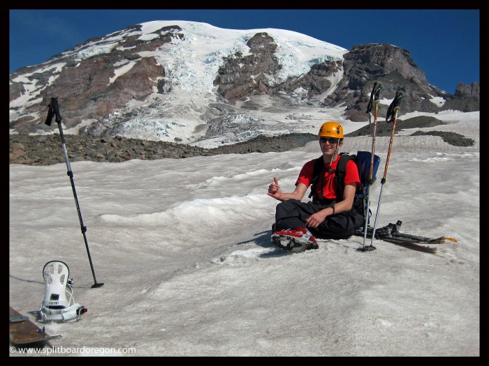
Andrew taking a rest break

The views south to Mt Adams and the Tatoosh Mountains was excellent. Probably not much riding left in the Tatoosh, but I would like to come back sometime in the Spring and see what it’s all about…..
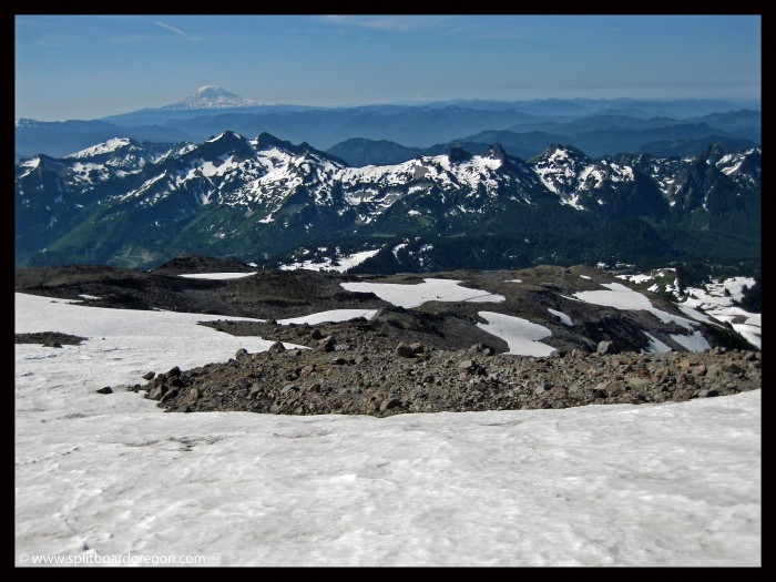
Mt Adams & the Tatoosh Range

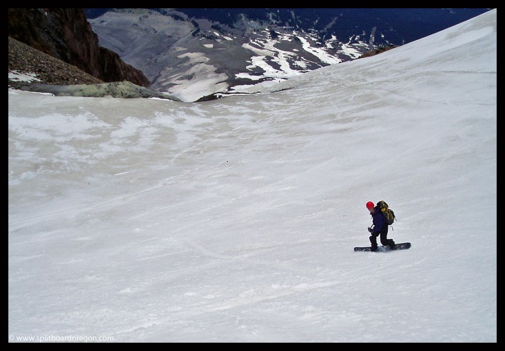
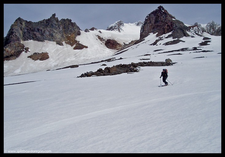
The ride down wasn’t bad, all things considered. We were able to link turns most of the way back down to Paradise. There was a nice rollover up higher on the Muir, and Andy found a nice cornice off to the east towards Paradise to play on.
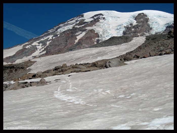
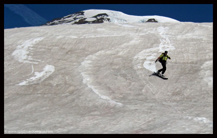
Our tracks descending the Muir
A few turns down low…

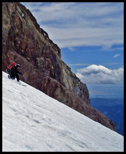
We hit one of the last snow patched above the big bowl just above Paradise, and there weren’t any ski tracks in it. We found out later why, as we had to downclimb loose rock for a few hundred feet and then traverse through a stream. Here’s a pic of the area we downclimbed…
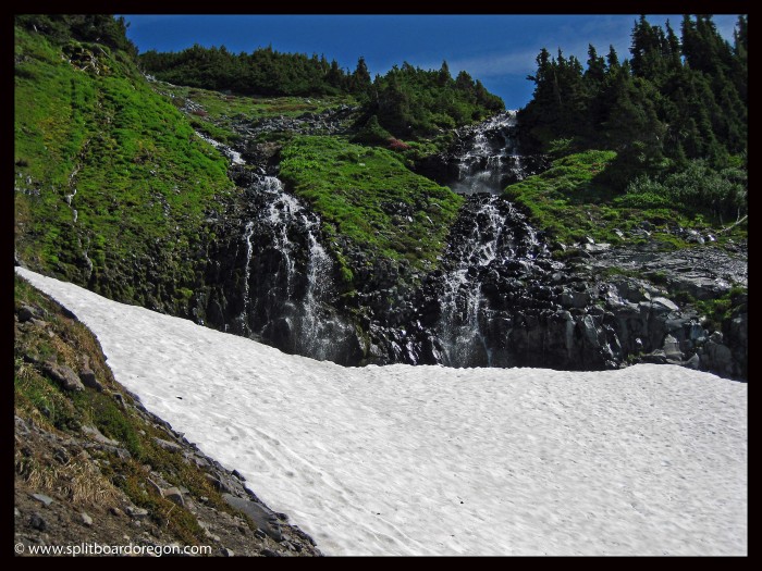
A pretty shot above Paradise

The flowers were out in the meadows and the weather was great. We made the final turns down past all the wandering tourists, and then shouldered the packs for the short hike out to the car. This tour would have been sweet a few months ago, but I still can’t complain given the late date. Back at the truck, we hit the road for the long return to the southern Willamette Valley, where fresh food from the garden and a weekend of rock climbing was waiting….
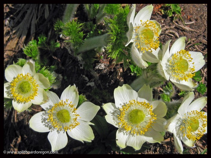
Rainier wildflowers

April 29, 2010 – 4th Annual Willamette Pass Dusk Patrol

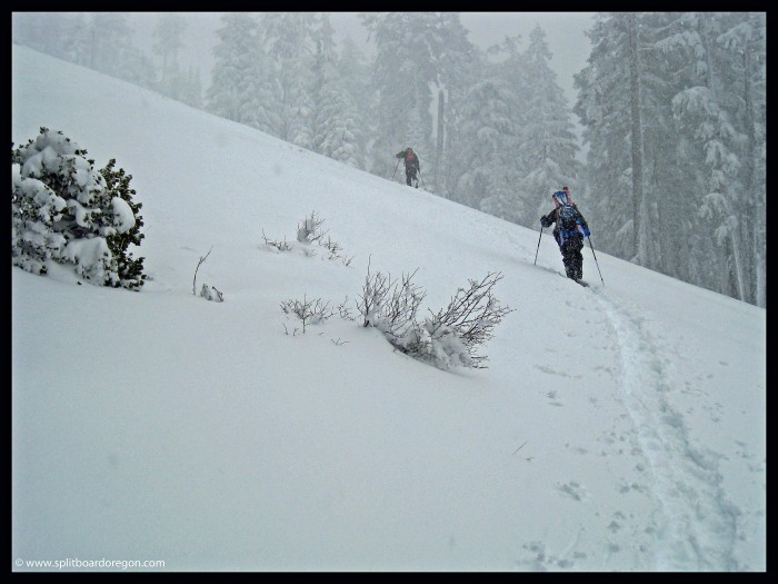
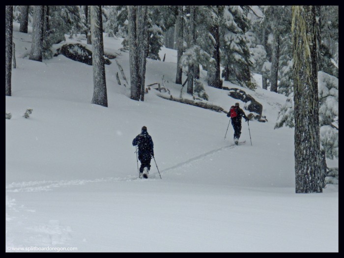
Andy, Todd and I headed out from work at 2:30 for the 4th annual April after-work Willamette Pass dusk patrol. The weather was stormy, but we had our hot coffees in the truck. The lifts had been closed for more than 3 weeks, and low snow levels were in the forecast all week long. We were hoping for a similar day to one we’d had during our April 2008 dusk patrol where powder was everywhere! After a brief stop in Oakridge, we arrived at the pass and parked off the road near the gate. There was about 15 inches of fresh from the last day and a half in the parking lot and it looked like it would be good! Nobody was around, but one other car pulled up as we were getting ready to take off. We shouldered our packs and started skinning up the soft snow on By George. We made pretty good time on the up track….

Skinning through the trees

Within about a half an our, we had left By George and were skinning up Timbur, which had better coverage than it did for most of the season – go figure!

Andy and Todd on Timbur

We reached the top in about an hour, not bad for the 1500 vertical feet of climb and having to break trail. We sat around for a bit at the top of the EPA, snapped a few photos and enjoyed the nasty weather.

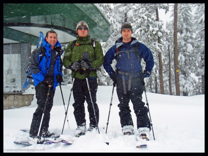
A snowblader, a tele-skier and a splitboarder!

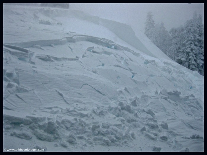
The wind was raging pretty good, so we ripped skins and headed back down to the beers waiting at the truck. I saw a really nice cornice that I wanted to jump at the top of Success, but it was pretty wind loaded. Actually, really wind loaded. One good stomp produced this slab, which was about 4 to 8 feet thick at the crown, but only ran about 100 feet. Lots of wind loading from the westerly windward slope was the cause….

Slab on Success

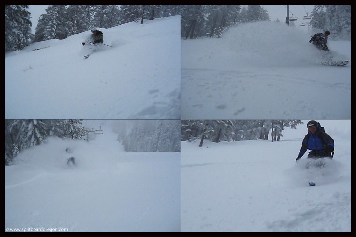
The ride down Success was pretty sweet. Freshies the whole way down and nobody cared at all that it was a little heavy – it was late April after all! We didn’t shoot any photos on the way down, but did take some video. The following pic is a number of stills pulled from the videos we shot…..

April Dusk Patrol turns…

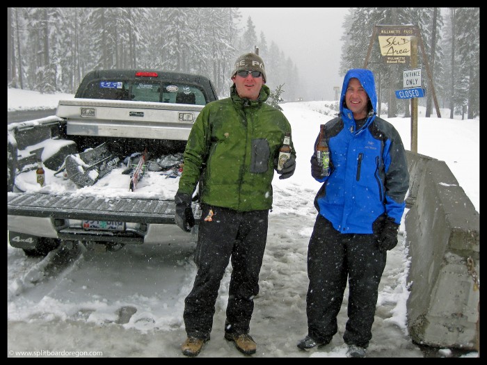
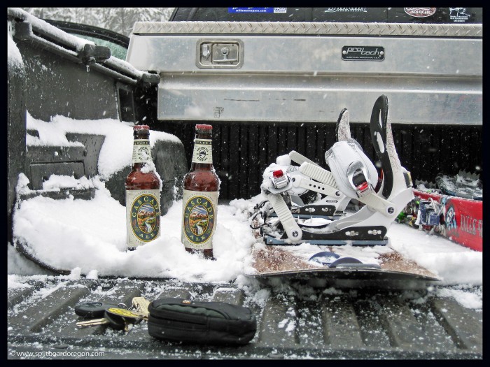
The snow was still light enough to get several face shots. Once down at the truck, we found our “friends” in the snow and proceeded to almost get frostbite while enjoying a frosty beverage. It was cold and snowing hard – and it felt good.

Andy & Todd enjoying a cold one!
The good stuff!

We stood around at the truck drinking the cold beers and feeling pretty cold ourselves. Drinking a fresh cold beer at the end of a Willamette Pass Dusk Patrol is always something I look forward to!

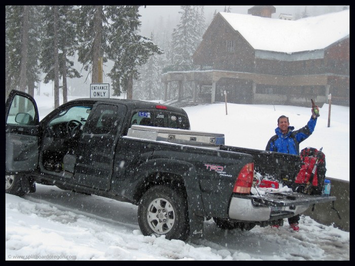
Gettin’ ready to head back

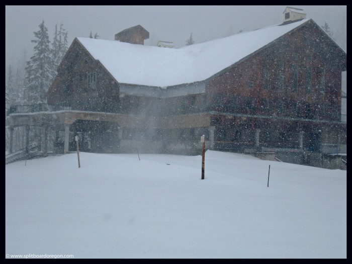
After the beers were gone, we loaded into my pickup and headed back down the mountain. The brief return to winter made me wish the powder season would never end, but corn season will be here soon! Before we pulled away and headed for home, I snapped this shot of the lodge in mid-winter glory…if I had half a brain, I would have went back up for another run the next morning…….

Willamette Pass Lodge

April 28, 2007 – Hoodoo Butte Dawn Patrol

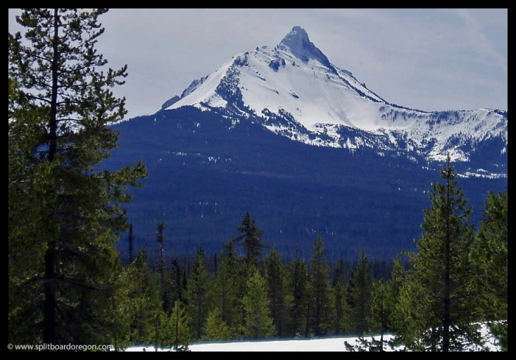
Since I only had a few hours to make some turns before heading to the coast for the weekend for my anniversary with my wife, I headed up to Hoodoo solo. I left the parking lot in the early morning to firm snow and smooth skinning. My original goal was to ride Sand Mountain, which is about 4 miles from Hoodoo Butte. I skinned about 1/2 of the way towards Sand Mountain, but decided to turn around due to sparse snow conditions. The views to the east of Mt Washington were beautiful. I’d like to get in there and do some spring riding soon.

Mt Washington

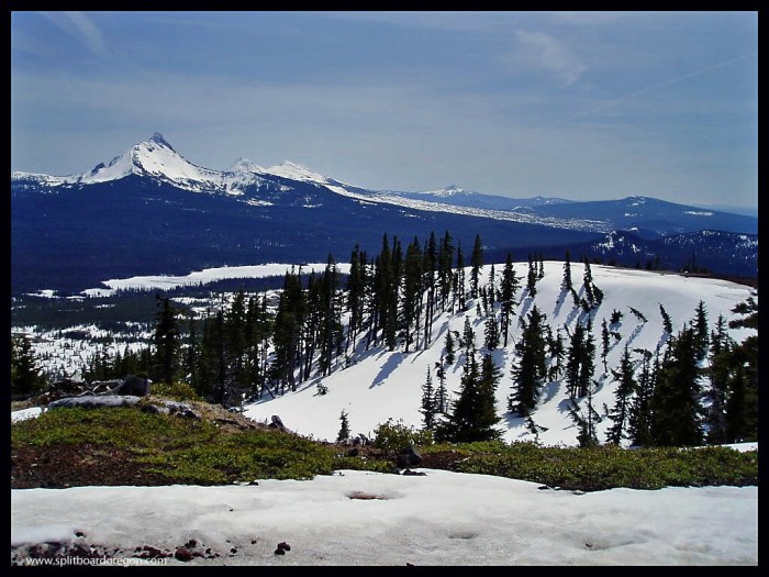
Upon returning to Hoodoo, I made a quick dash up to the summit. The views were really nice in all directions, and Jefferson and Three Fingered Jack were still plenty snow covered. The ride back down the north bowl was fun. I was able to make turns all the way down to the car, and got back in time to head to the Oregon Coast for some exploring and excitement. That being said, it’s time to head for the higher country for better snow and climbing conditions.

Hoodoo summit view

July 1, 2007 – Hogsback/Crater Rock, Mt Hood

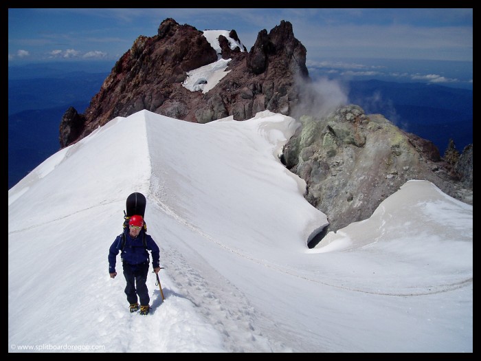
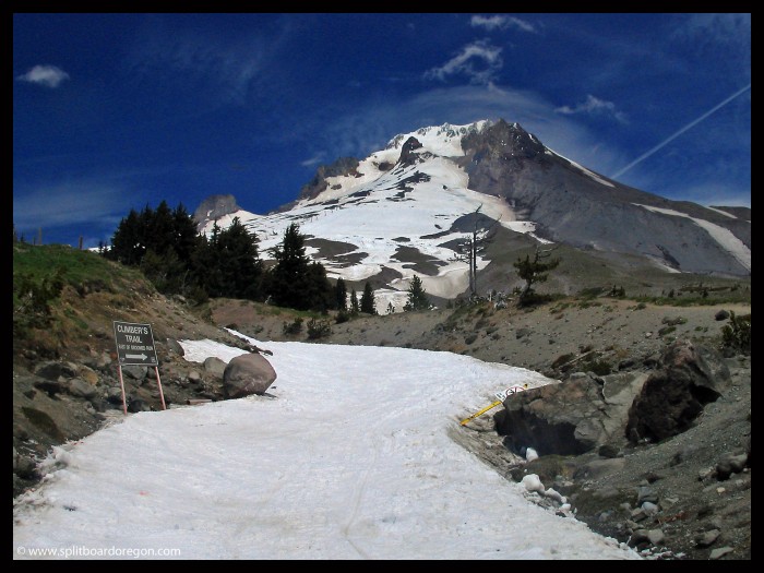
The climb up to Crater Rock on Mt Hood’s south side is always a scenic one, especially once above the Timberline Ski Area lifts…..

Climbing above Crater Rock, July 2007

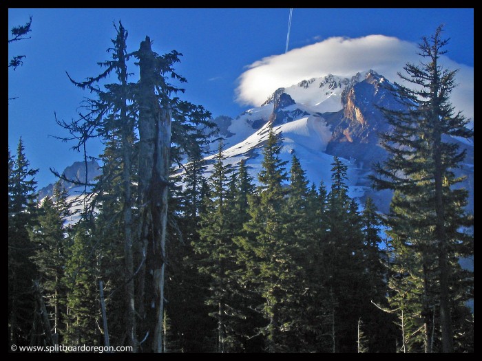
I met Todd at the Alpine campground on the last day of June, and things were looking good for a summit attempt the following day. After pitching the tent and tending to the fire, we pulled out the camera and a beer and went searching for some photo opportunities. Here’s a shot of Hood with an evening lenticular cloud…

Evening light shining on Mt Hood’s southside

Sleep came easy that night, and the next morning we got a somewhat late start at a quarter till Six from the Timberline parking lot. We were able to skin from the lot, and made good time to the top of the Palmer, before switching to regular crampons at about 9000 feet on the White River snowfield.

Climbing the White River snowfield

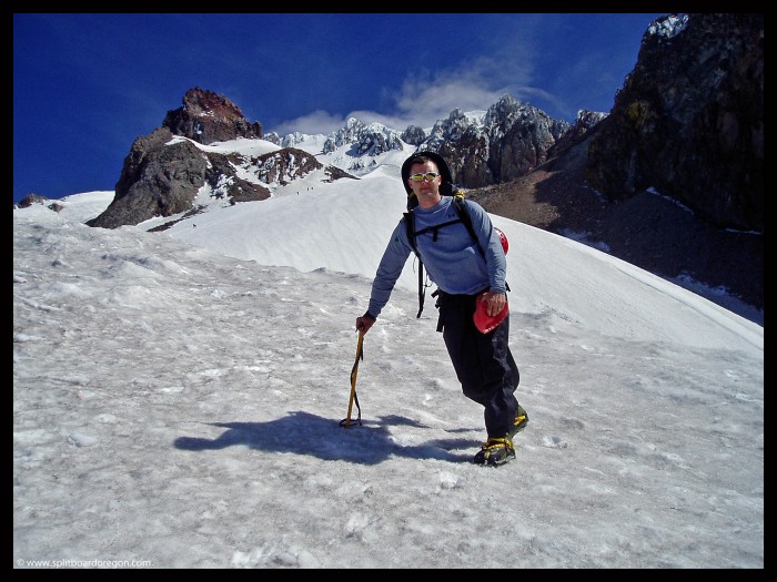
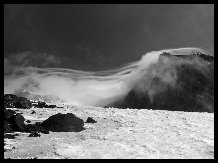
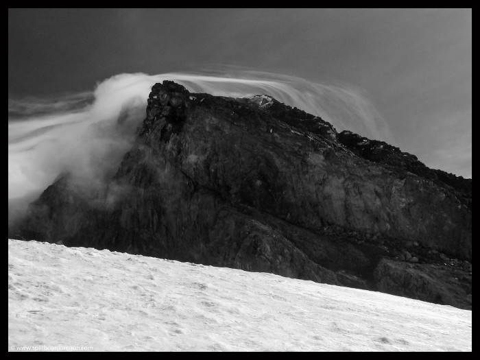
The snow was firm along our entire ascent route. A large lenticular cloud kept the upper mountain concealed for several hours in the morning. We ended up waiting around 9000 feet for about an hour pondering our options. It did give us time to shoot a couple of cool photos though…

Cloud formation on Hood
A different angle of the clouds…

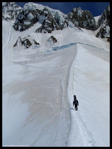
Eventually the clouds moved on and so did we, climbing to the Hogsback ridge. We chatted with a few climbers who were already descending, and took in the views. By now the sun was taking its toll, and the snow had started to soften. We reached 10,700 feet and the bergschrund at about 12:15. A few climbers were ahead of us on the Mazama route, and a skier and snowboarder made turns down from the summit, but conditions didn’t look too favorable for riding.

Climbing towards the bergschrund

Given our late hour and the sketch conditions up above, we elected to ride down from here rather than boot up to the top for the last 500 feet, which required an out of the way traverse since the Pearly Gates were not in. The ride down was great, with the snow above 10,000 feet perfect corn that allowed for a nice edge.

July turns below the southside bergschrund

Todd made some nice tele-turns coming down from above 10,000 feet, though the last section below the Hogsback ridge was a little thin, but skiable without problem…

Todd picking his way through below the Hogsback

Below Crater Rock the skiing and riding was excellent. We rode out to the Zigzag glacier and harvested some of the best corn of the year. I took this shot which ended up the webpage of telemarktips.com…….

Todd skiing below Crater Rock

The Zigzag kept going and going, and the riding was excellent. We linked turn after turn of perfect corn.

Enjoying July tele-turns

Below the Zigzag, we traversed back east and entered the ski area, where we were able to ride the groomed runs all the way to the lodge. Total vertical was 4700 feet of vertical with a joy-o-meter of 100%. It’s definitely hard to beat that in July.

Hood from the Timberline Parking Lot

October 20, 2007 – Ski Bowl, Mt Hood

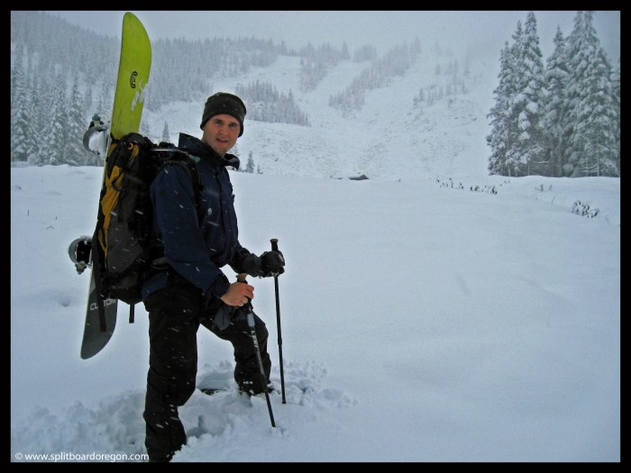
Having no real direction on where we wanted to go for October turns, Todd and I headed out towards Mt Hood. Initially, We had thought about Bachelor, but it looked pretty slim the night before on the web camera. Timberline was reporting 11 inches of snow, so we decided to give it a go an hoped for the best. The weather was hideous on the drive up I-5, and when we got to Govy, the snow on Hwy. 26 was several inches deep in the road with really bad ruts, and about 12 inches deep on the shoulder. At that point, We didn’t want to attempt driving up the Timberline road (even with the 4 wheel drive), so we decided to pull into the Ski Bowl parking lot and see was up.

Hiking up Ski Bowl

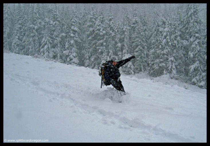
The trek up was nice and peaceful and it snowed on us the whole way. There wasn’t anyone around which added to enjoyment factor. The snow depth at midway was around 12 inches, but closer to 16 by the time we were ready to come down. We decided to turn around about 2/3 the way up the summit lift due to the steeper angle of the slope which wasn’t suitable for turns. The turns down were rocky at first on the steeper slope, but were nice and creamy for the remaining 800 or so vertical feet back to the parking lot.

October turns!

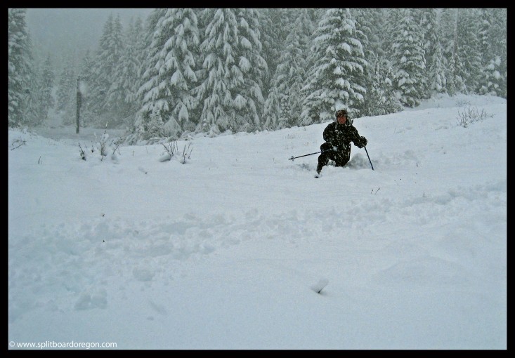
At the lodge, we helped some kids in the parking lot build a jump and we played around on that for awhile. It was nice to see others out enjoying the early snow and having fun. Then, it was time to drive across the highway to have a beer at the Ratskellar and watch a bit of college football before the long boring drive home. Tomorrow should be great up at Timberline!

A slow tele-turn through the mank