Named after Captain William Clark of the Corps of Discovery, the Clark Glacier is situated on the southwest side of the South Sister to the west of the Lewis Glacier, and ranges in elevation from 8300 near it’s toe to 9300 feet on it’s upper reaches. As with nearly all of the glaciers in the Oregon cascades, the Clark has lost a significant amount of mass and volume since the mid-1800’s and is now basically a crevasse free snowfield. The below photo, courtesy of John Scurlock, was taken on August 28, 2007, and shows the Clark Glacier, with the Lewis Glacier to the left. Note the lake and cliffs evident to the left of the Clark, clear remainders of erosive forces from a previously much larger glacier.
Clark Glacier; photo courtesy of John Scurlock
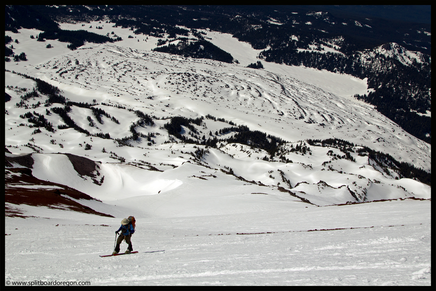
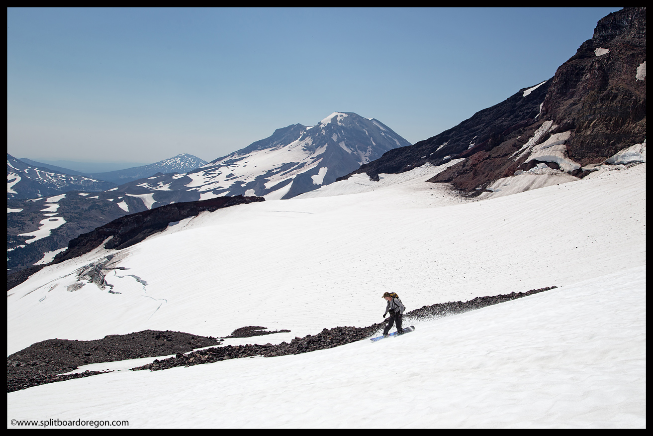
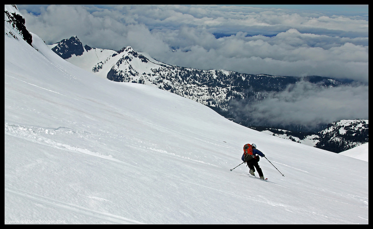
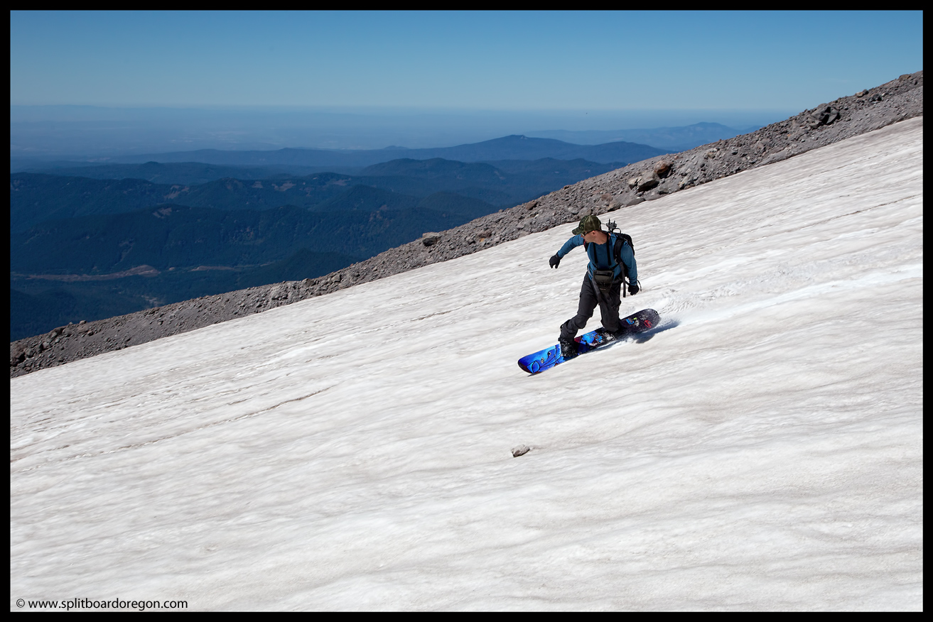
The Clark is a beautiful place to make spring and early summer turns, especially when combined with a descent of the south side of South Sister. It offers a bit spicier ride than the standard climbing route, with more variety in terrain and features, including rollovers, wind lips, cornices, etc.
Skinning above the Clark Glacier
If considering a trip to the South Sister and a ride from the summit, a descent via the Clark Glacier is definitely worth the time and effort. The views alone justify the trip.
Located on the northeast side of the Middle Sister, the Hayden Glacier starts just below the Prouty Point saddle at an elevation near 9100 feet and flows downhill to the east to about 7800 feet at it’s toe. Meltwater from the Hayden feeds the north fork of Squaw Creek, which eventually flows through the town of Sisters. Like the Renfrew on the west side of Middle Sister, the views from the Hayden Glacier are spectacular. The below photo, courtesy of John Scurlock, was taken on August 28th, 2007, and is looking at the glacier from the northeast.
Hayden Glacier, photo courtesy of John Scurlock
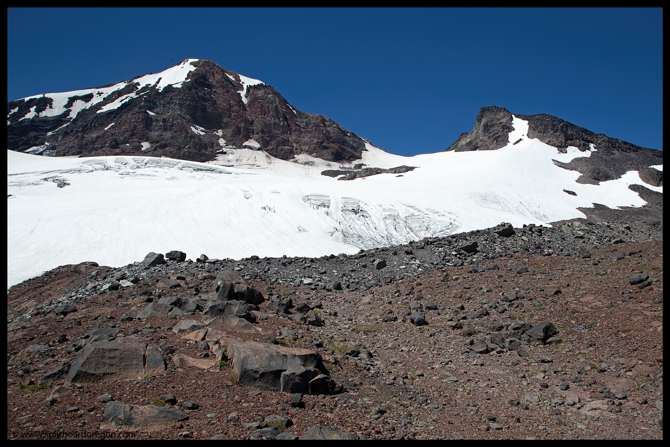
If looking to make turns on the glacier, be advised it does have numerous crevasses. Generally however, a safe ascent route can be found by following a pronounced ridge on the northern side of the glacier as seen in the photo above. Good turns can often be found here into the mid-summer, and even year-round for those that don’t mind a ski in sub-optimal snow conditions.
June turns on the Hayden
The best snow is usually found during the corn snow months of May and June however, when Pole Creek trailhead becomes accessible to vehicles and a descent of the north ridge of the Middle Sister can be combined with the Hayden for nearly 3500 feet of turns.
Summer turns on the Hayden Glacier
If you haven’t been there before and are looking for a new area in the Central Oregon cascades to visit, the Hayden is definitely worth a trip.
Sitting squarely on the northwest side of the Middle Sister, the Renfrew Glacier is located in one of the more scenic areas of the state. The glacier starts at an elevation of just over 9000 feet, directly to the west of Prouty Point, and flows downhill before splitting into two lobes, one which heads west and the other which continues to the northwest. The toe of the glacier is located near 8000 feet, and meltwater from the glacier feeds Obsidian Creek which flows into Linton Lake. The photo below, taken on August 28, 2007 is provided courtesy of John Scurlock, and shows the Renfrew Glacier from the west.
Renfrew Glacier, photo courtesy of John Scurlock
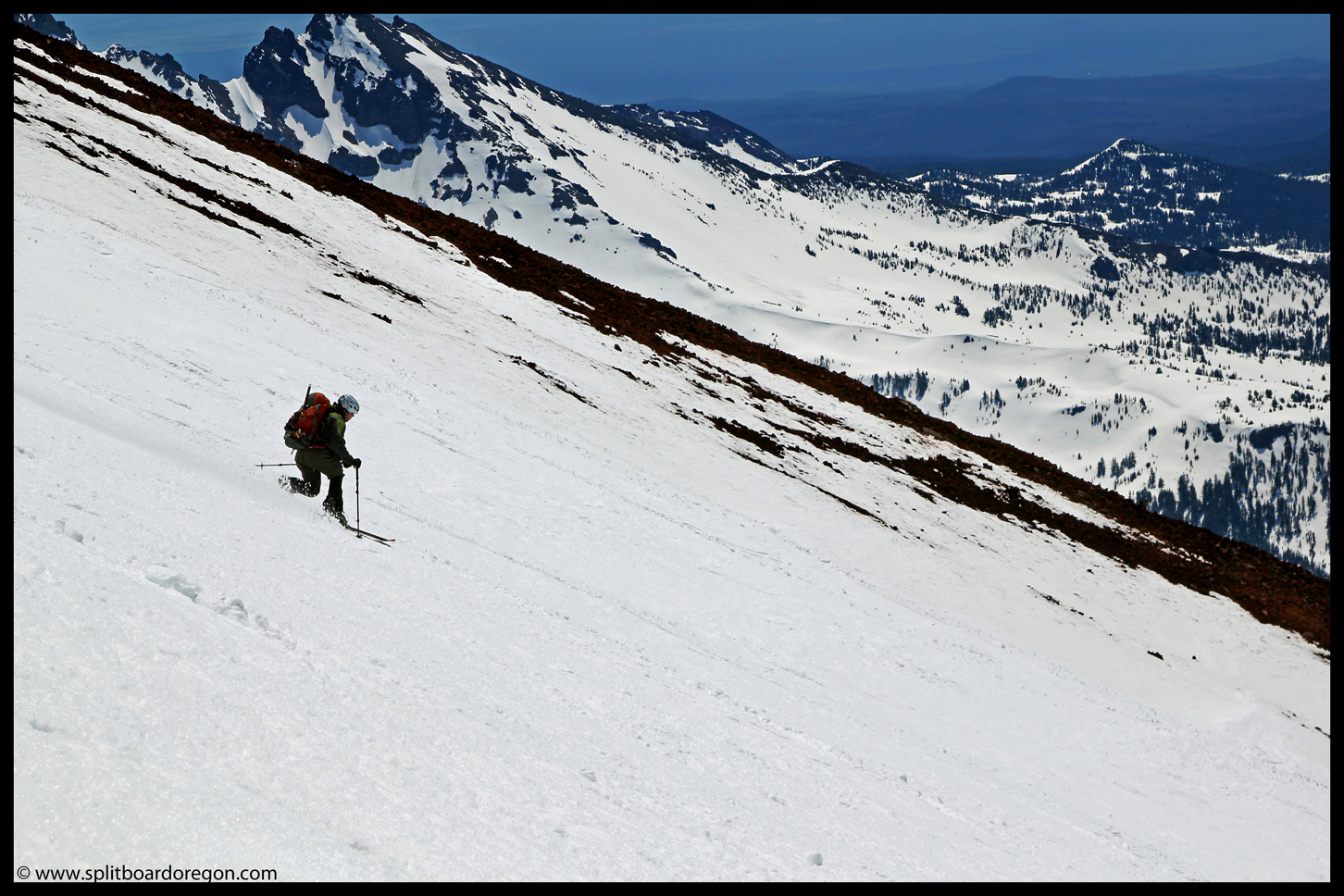
For the most part, the glacier is relatively flat, but does offer some really nice low angle corn turns in spring/summer conditions. Approaching from the east allows dropping in from Prouty Point and a combination trip with the Hayden Glacier, while approaching from the west usually provides for a more isolated trip. The below photo shows the Renfrew from the saddle at Prouty Point.
The Renfrew Glacier from Prouty Point, June 2010
One of the main reasons to visit the Renfrew is for the spectacular views. From the top of the glacier, the volcanic peaks of northern Oregon and Southern Washington line up perfectly along the cascade crest, while the Husband and the Willamette Valley can be seen to the west. If you’re looking to make turns in one of Oregon’s most scenic spots, look no further than the Renfrew Glacier.
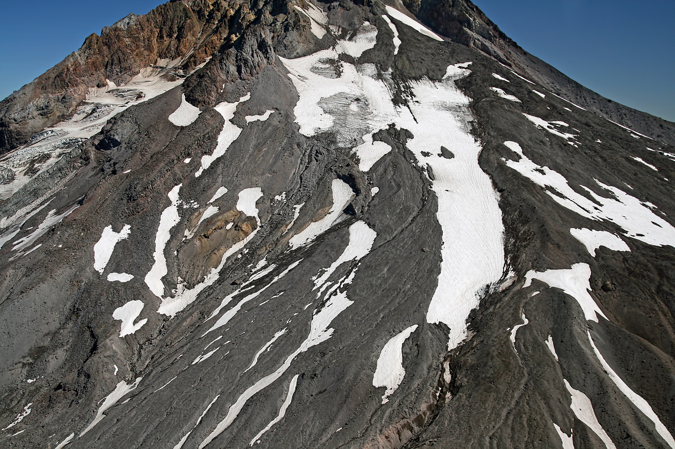
The Zigzag Glacier covers an area of roughly 190 acres, and sits on the southwest flanks of Mt. Hood between the Palmer and Reid glaciers. It starts in the mountain’s crater just west of Crater Rock above 10,000 feet, and it’s upper reaches are part of what’s commonly known as the West Crater Rim climbing route. The glacier flows south to an elevation of approximately 7,500 feet at it’s terminus, where it’s meltwater feeds the Zigzag River, a tributary of Sandy River.
Like the other glaciers on Hood’s south side, the Zigzag has retreated significantly in the last century. Joel Palmer, for whom the Palmer Glacier was named, is credited as the first white man to set foot on the glacier while searching for the best route from The Dalles to Oregon City in 1845 with Sam Barlow (who established the Barlow Trail a year later in 1846). He noted his intimidation of the crevasses and broken surface of the glacier. Subsequent climbing parties also noted the larges crevasses, with at least one party reporting falling into one in 1887.
Early photographers found the south side of Mt Hood an inspiring subject to shoot, and many photos were taken in the late 1800’s which showed both the mountain and the Zigzag. The below photograph is courtesy of Old Oregon, and was taken by Frank Abell circa 1885.
Mt Hood circa 1885, photo by Frank Abell. Photo courtesy of Old Oregon
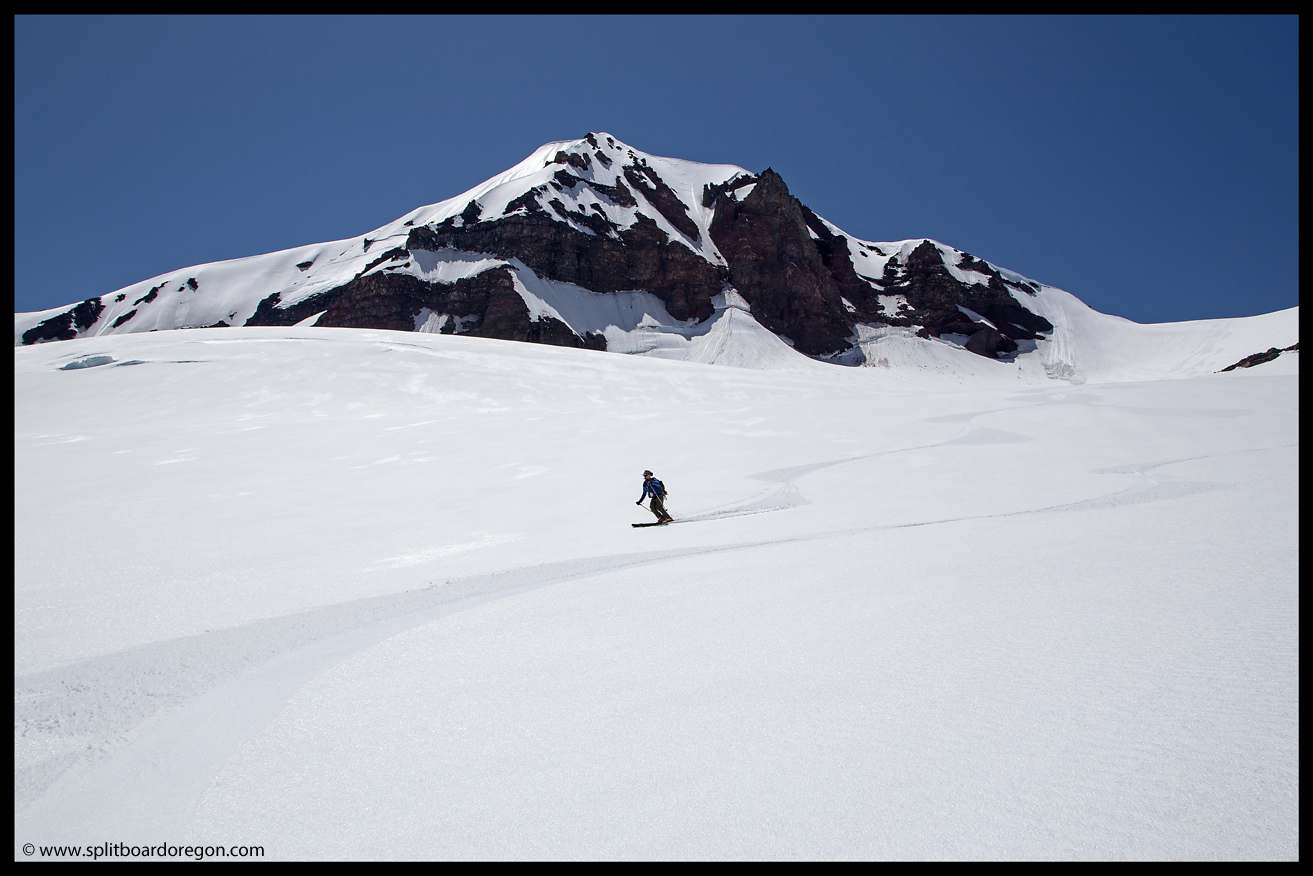
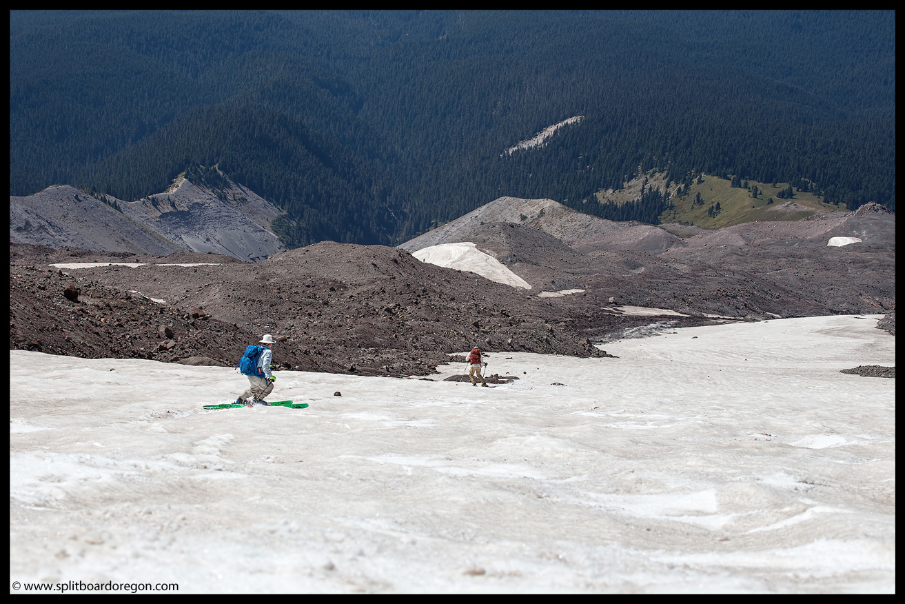
The Zigzag glacier of today sits in stark contrast with the glacier of 150 years ago. No longer do seracs, crevasses and moving snow and ice dominate the scene. Today, a small permanent snowfield, mellow in angle and pitch lends itself to making turns year-round in a crevasse free environment. The lines off Illumination Saddle offer a few steeper turns, with the fall line of the Zigzag allowing for a couple thousand feet of vertical. Staying to skier’s left allows one access back to the Timberline Ski area near 7000 feet, while riding down the glacier’s center or skier’s right may require hiking back up to stay out of the Zigzag Canyon.
Zigzag Glacier 2007 – Photo courtesy of John ScurlockSkiing the Zigzag Glacier, September 2017
Depending upon the season, a long descent all the way back down to Timberline Lodge without removing your gear from your feet is possible. Use caution on the upper slopes above Illumination Saddle, as avalanches are common.
Skiing the Zigzag Glacier in October 2011
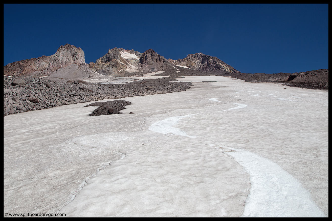
The bottom line: the Zigzag Glacier has some interesting history and is a fun place to ski and ride!
Zigzag Glacier, Sept 2017Summer turns on the Zigzag
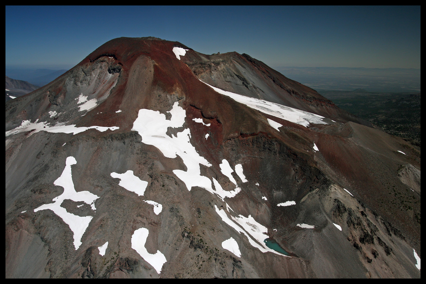
The Bend Glacier is the largest of Broken Top’s two named glaciers, and is located on the north/northeast side of the mountain. It’s meltwater feeds the headwaters of Squaw Creek, which eventually empties into the Deschutes River. The upper reaches of the glacier sit at an elevation of approximately 8700 feet, while the terminus is near 7400 feet. As with most of the glaciers in Oregon, the Bend glacier has retreated significantly since the turn of the century. Riding on the glacier is possible, and decent turns can be found well into summer, though a bit of effort to reap the reward is required due to the approach.
Looking down on the Bend Glacier, June 30, 2011
The below photo, taken on August 28, 2007, is courtesy of John Scurlock, and shows the Bend Glacier looking east,
Bend Glacier in late August, 2007. Photo courtesy of John Scurlock