March 2002, Willamette Pass Sidecountry

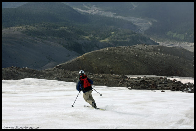
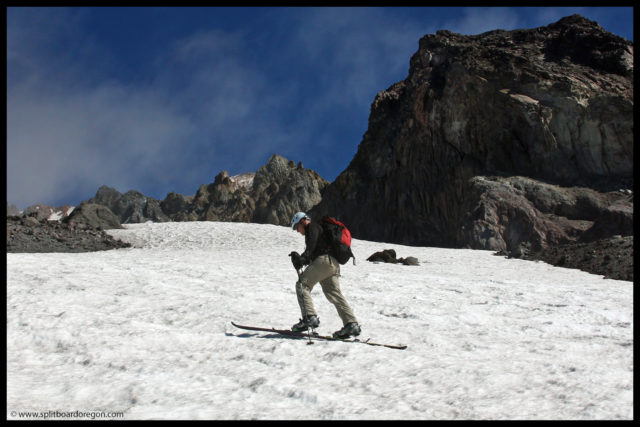
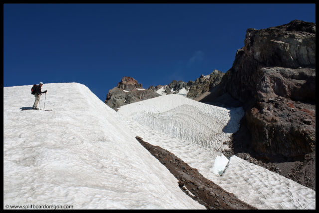
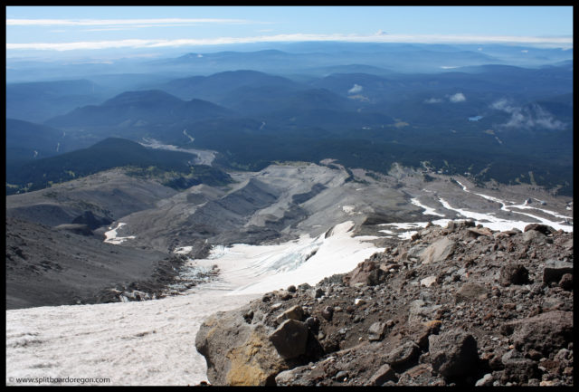
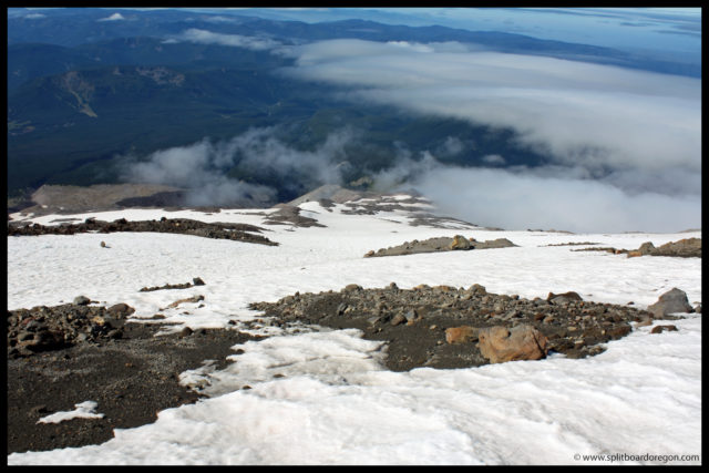
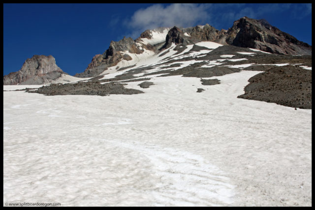
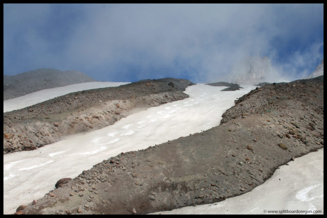
Season passes in hand, Andrew and I left Corvallis early to make some Spring turns at Willamette Pass. The forecast was for sunny skies, and the weather didn’t disappoint when we pulled into the parking lot. After running laps on the lifts, we headed across highway 58 after lunch in search of some fresh snow and different terrain. We didn’t need to hike for more than about 15 minutes before we found some nice, albeit short, terrain to play on. The area consisted of steep little cliff drops which made for a fun time. The pictures I took on this trip were with an old point and shoot film camera I had back in college. I still have the prints, but lost the negatives sometime back, so I scanned the image, which is why the quality is a bit sub-standard…

Andrew warming up

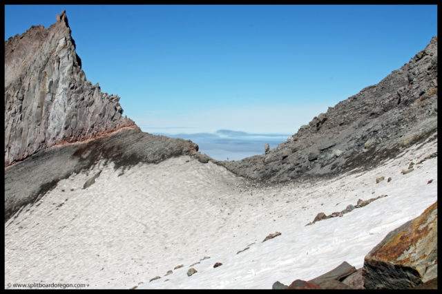
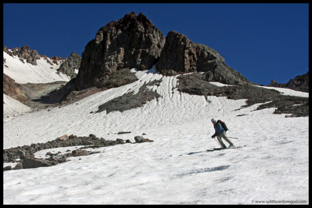
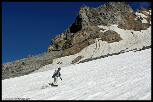
We scoped out the features from below, before heading up top to get a look. After walking up and down the cliff band, there were several spots that looked worth dropping. Andrew dropped in first, then I followed. The run in was kind of flat, so dropping in was somewhat blind until we got right to the edge.

Matt dropping a small cliff

The rush of adrenaline I got from dropping in was pretty awesome, and we spent the rest of the afternoon hiking in the area, hitting numerous drops along the cliff line. When we were through, most of the fresh snow had been tracked.

Scoping it out…

Getting good shots proved to be somewhat difficult given our camera gear (though I knew next to nothing about taking photos at the time). We had to point the camera up where we were going to launch, wait for the rider to drop, and time it just right to allow for the shutter lag. Then, we could only suspect if we got a good shot by when we heard the camera actually record an image, not knowing if it really would turn out until the film was developed days later…..

Willamette Pass Slackcountry

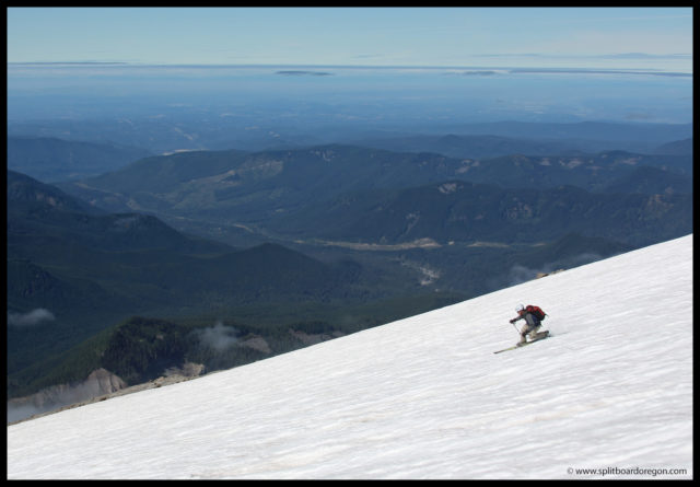
After we’d had our fill, we rode out to the car, getting some fresh pow turns on the way down while narrowly avoiding numerous rocks that were lurking under the shallow snowpack. On the drive back to Corvallis, Andrew snapped the below photo of Mary’s Peak at sunset.

Mary’s Peak Sunset

This was an excellent day at the Pass and one I’ll never forget. Though we didn’t climb any big peaks or ride any huge lines, just getting out to explore a different area and spending time with Andrew with no expectations was awesome. Looking back, enjoying the college life and having no expectations is an experience I wish I could repeat every once in awhile!

July 6, 2008 – Hogsback, Mt Hood

It’s hard to beat a combo trip of rock climbing and snowboarding! With rock and ski gear in the car, my wife and I headed out to Smith Rock to get some climbing in, with the plan to climb Mt Hood the day following. We met Todd in the parking lot around 9:00 am and started hiking towards Misery Ridge. We spent most of the day climbing in the area near the Monkey Face and the weather was perfect. Here’s a shot of one of the areas we climbed….

Climbing at Smith

After the hike back out to the truck, my wife and sister-in-law (who also climbed with us) headed back to the Willamette Valley, while Todd and I drove north on Highway 97. We made a brief stop in Madras for some supplies, then continued on. As we neared Mt Hood, the weather clouded up and it appeared to be raining towards Government Camp. We made the decision to pull into the Clear Lake campground about 12 miles from Govy and got the last remaining camp site. That night we enjoyed a nice fire and some beer from Deschutes Brewery before hitting the bivy. The rain held off all night and we awoke at 3:30 am and packed up camp. We drove through a dense cloud layer above Govy, and were pleased to see the outline of the Hood emerge as we pulled into to the Timberline parking lot with no clouds in sight.  We signed in at the climbers cave, and left the parking lot and started skinning about 5:20 am. We made good time up to the top of Palmer.

The upper mountain

Snow conditions were frozen hard above 8000 feet, so I found a good place to put the ski crampons on so I could continue skinning.

Looking south to Jefferson in the early morning

We continued up the White River snowfield, and at around 9000 feet, due to terrain and frozen snow, put the boards on our backs and continued on with crampons and ice axes. The resulting heavy packs slowed our progress considerably.

Looking out towards Illumination Rock

Several climbers were ahead of us higher up clogging up the upper route. We continued climbing and reached the Hogsback about 10:15, and considered heading up the Mazama Chute, as the other options were melted out. While mulling over the options, it became apparent that rockfall was a hazard, with several shouts of “rock” coming from parties above us in the chute. One lady got hit pretty hard in the arm with a rock. As we assesed the situation and were preparing to climb on, we heard an “oh shit”, and looked up to see a climber tumbling like a rag doll down the steep slope below the Mazama Chute. A person in the party next to us called 911 and a snowcat and helicopter were deployed for help. Obvisously, heading up was no longer a good option, so we offered our help. After the situation was under control, we hiked west of Crater Rock and snapped a few photos.

Matt at 10,500 feet
Looking down on the Zigzag Glacier, July 2008

Up higher, there were about 6-7 people tending to the injured climber, who had apparently hurt his leg. We walked back over to the Hogsback and talked to a few other climbers who said that a cat was heading up from Timberline to haul the guy down to the lodge. Knowing we wouldn’t be going any higher today, we took off the crampons, switched over to ride mode and waited a few more minutes, just taking in the views and letting the snow corn a bit more. Heading to the top would have been nice, but it really wouldn’t have been worth riding due to the snow conditions above the Hogsback. Here’s a shot of the upper mountain and Hogsback from our drop in point (I cropped the people tending to the injured climber out of the photo).

The Hogsback, July 2008

As we strapped in an made the first few turns, it was apparent the corn was going to be good. The turns below Crater Rock were some of the best of the year. We headed out towards the Zigzag Glacier to harvest some more corn, and the glacier was in excellent condition as usual. We shot mostly movies on the way down instead of pics, and ripped up over 4000 feet of vertical.

Various shots from the day

We were back at the lodge by 12:30 or so, and down at Govy by 1:30 sipping on an IPA and watching Federer get beat by Nadal at Wimbledon, while eating an enormous pizza at the Ratskellar. I love this time of year! Conditions on the Hood should be good for another couple of weeks, especially on the Zigzag, though the summit route is pretty much done for this year.

September 6, 2010 – Illumination Rock, Mt Hood

I left the southern Willamette Valley just before 5 in the morning, seeking September turns at Mt Hood. After a quick drive up Interstate 5, I pulled into the Alpine campground at 7:30 to meet Todd, who’d spent the night there. We headed up to the Timberline parking lot and it was quite cold. Looking to make the most of our day, we bought a summer lift ticket, loaded the Magic Mile chairlift and rode up to the Palmer Snowfield. For the first couple of hours in the morning, we spun laps on the snowfield, and the snow was in great shape.

Running laps on the Palmer

Around noon, we headed down to the parking lot for a quick break and some lunch before heading back up to do some climbing. From the top of the Palmer, we chose to ascend via the White River snowfield. Here’s a couple of shots of Todd skinning along up the snowfield….

Todd on the climb
Climbing below the White River headwall

As we climbed higher, the views became better and better, and soon we had a pretty good look at the White River Glacier below us. To the south, Mt Jefferson was looming on the horizon.

The White River Glacier, Sept 2010

The White River snowfield was pretty cupped on the ascent, so we headed out towards the Zigzag Glacier and Illumination Rock in search of some smoother snow. Dropping down onto the Zigzag Glacier, we were pleased to find much better snow conditions. After a short break, I climbed out to Illumination Saddle, where the wind was really howling.

Looking down on the Zigzag
Illumination Rock and Saddle

The view down to the Reid Glacier was beautiful with the cloud deck a few thousand feet below, and it appeared to still be in decent condition for riding. Since Todd had my camera, I snapped the below photo with my cell phone…..

Reid Glacier, September 2010

We strapped into our gear around 11:30 and headed down, as it appeared the clouds might be moving back in and could possibly obscure our vision on the way down. The first turns were a bit bumpy, but it was pretty nice for September! Here’s a couple of shots from around 9000 feet….

Turns below Crater Rock
September turns on the Zigzag

The snow below 8800 feet was smooth corn and in really nice shape for September. We continued to make turns down the snowfield, with Illumination Rock in the background…

Boarding on the Zigzag
Todd skiing in front of Illumination

After working our way down a ways, we cut left and headed over towards the connecting snowfields of the LIttle Zigzag rather than head further down the Zigzag proper. The turns were choice and the skiing didn’t disappoint.

Todd dropping a knee
Skiing down the Little Zigzag

Once down towards the bottom of the Little Zigzag, we cracked open a Green Lakes Ale from Deschutes Brewery and admired our turns down the last pitch. It was a pretty good figure 8 pattern if I do say so myself.

Looking back at our tracks
Figure 8’s on the Little Zigzag

After downing the suds, it was a quick 10 minute hike back to the east and we were standing at the bottom of the Palmer Chair. So, we hopped on the lift and spun another lap before the hill closed. The run down the Mile Canyon was pretty nice, and left us within a few hundred feet of the cars. Overall, I’d have to say this was probably my most enjoyable September to date up on Hood! Here’s a parting shot of Todd skiing on the Zigzag…

Sweet September Corn

Palmer Glacier

The Palmer Snowfield is located on the south side of Mt Hood, between the White River Glacier to the east and the Zigzag Glacier to the west.  It is probably the best known of Mt Hood’s 12 glaciers, due in large part to the fact that it is the only place in the US where lift served skiing and riding occurs nearly 12 months a year. The Palmer used to cover an elevation from 9300 feet on it’s upper end to somewhere around 7800 feet at it’s terminus (the mid-station of the Palmer Chairlift inside the Timberline ski area). Many sources indicate the snowfield ends near 6200 feet, but in lean snow years finding snow below 7500 feet is difficult at best. In late 2021, the Palmer melted out completely.

The upper part of the snowfield above the ski area used to be connected to the White River Glacier, but now melts apart from it each summer. The Palmer is the source of the Salmon River, and was briefly named the Salmon River Glacier in the 1920’s. Prior to 1924, the Palmer was thought to be a snowfield, which it is generally thought of as today. However, according to Jack Grauer’s 1975 book titled The Complete History of Mt Hood, during the mild winter of 1923-1924, such little snow fell that crevasses began to be revealed. Later in the summer, a horse fell into a blind crevasse. This prompted an investigation by the Mazama’s as to whether or not the Palmer was a snowfield or a glacier. In the fall of 1924, the Palmer was determined to be a glacier, and has since been named so on the maps, though there have been no crevasse sightings on the glacier since the summer of 1924.

Earlier evidence of crevasses on the Palmer came from the man for whom the glacier was named. Oregon pioneer Joel Palmer climbed to near the 9000 foot level below Crater Rock while looking for a suitable route for wagon passage from The Dalles to Oregon City in 1845. Upon his descent, he came upon several blind crevasses in the vicinity of the Palmer, which as Jack Grauer points out in his book, indicates that the glacier has shrunk considerably since the mid 1800’s.

The below photo was taken by L.J. Bailey in 1935, is part of the Glacier Photograph Collection, and is courtesy of the National Snow and Ice Data Center in Boulder, CO. It shows the Palmer Glacier in the upper center of the image, with the White River Glacier in the center of the photo.

Bailey, L.J. 1935 White River Glacier: From the Glacier Photograph Collection. Boulder, Colorado USA: National Snow and Ice Data Center/World Data Center for Glaciology. Digital media.

The Palmer of today is far from what Joel Palmer encountered in 1845. It’s now famous for it’s summer skiing and riding, and is heavily salted to keep the snow firm for racing. Both Windell’s and High Cascade Snowboard camps call the snowfield home during the summer, and the US ski team trains there. The scene can be quite chaotic at times, with campers and racers all vying for the same patch of snow.

Palmer, September 2011

Later in the year however, the Palmer is one of the easiest places where decent turns can be had in the lean snow months, and by this time the the camps are usually gone. Lift tickets during the summer are quite expensive, but allow for thousands of vertical feet of riding, whereas hiking to the top is rewarding, and allows for a nice long runs back down to the snow’s end.

August turns on the Palmer, 2013

Overall, the Palmer has a rich history and is a fun place to make turns.  I’ve had numerous good outings there over the years, and usually venture back at least once a year to enjoy what it has to offer.

Palmer Glacier, Oct 2010