Mt McLoughlin’s northeast bowl had been on my mind since I last visited the mountain in 2012, and when Morgan text saying he was game to check it out I was stoked. Initially I was concerned whether the bowl would have enough snow to ride given this year’s anemic snowpack, but driving down Highway 97 quelled my fears somewhat as the clouds lifted around Mt Thielsen and Scott, revealing decent coverage on their north slopes.
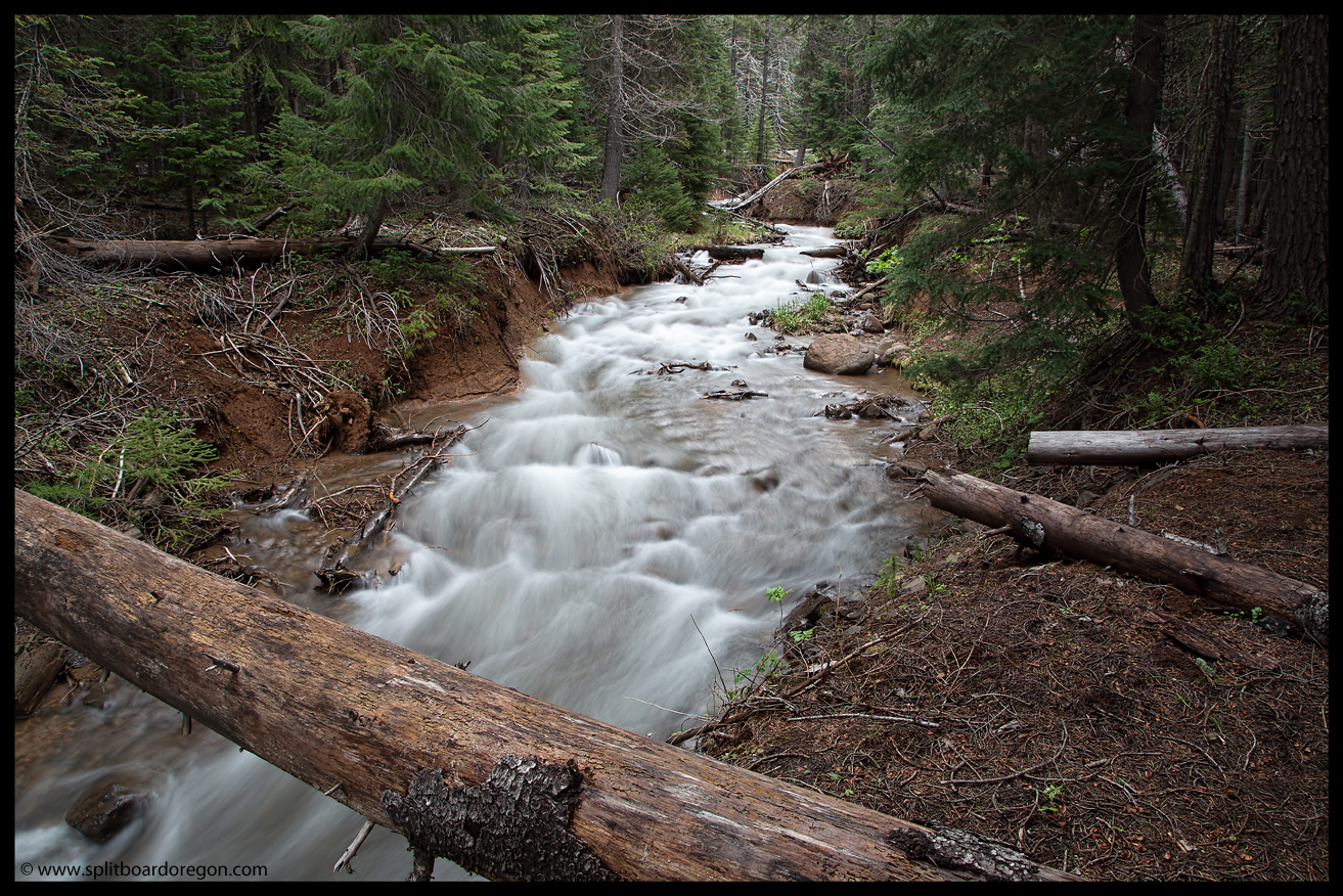
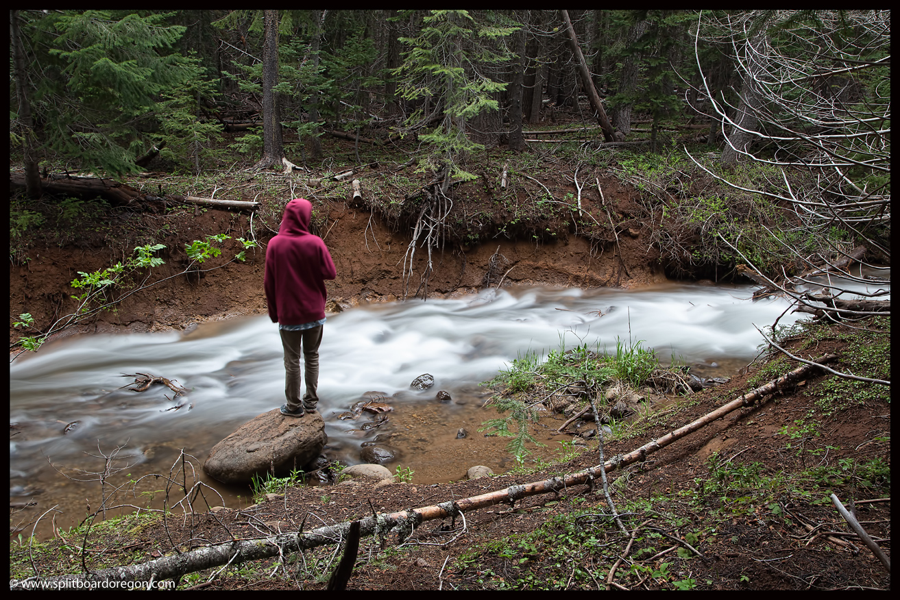
Driving through the Klamath basin en route to the Lake of the Woods highway reminded me why Oregon is one of the most beautiful places anywhere, and soon I was driving up the gravel road to the trailhead to the mountain. Arriving at the trailhead, I found one other car – pretty amazing for a Saturday on Memorial weekend. Morgan arrived shortly thereafter, and we discussed plans for the coming day, both agreeing an early start was in order. Before hitting the sack, we enjoyed a couple of cold beers around the fire, and I snapped a few pictures of the creek running through camp…
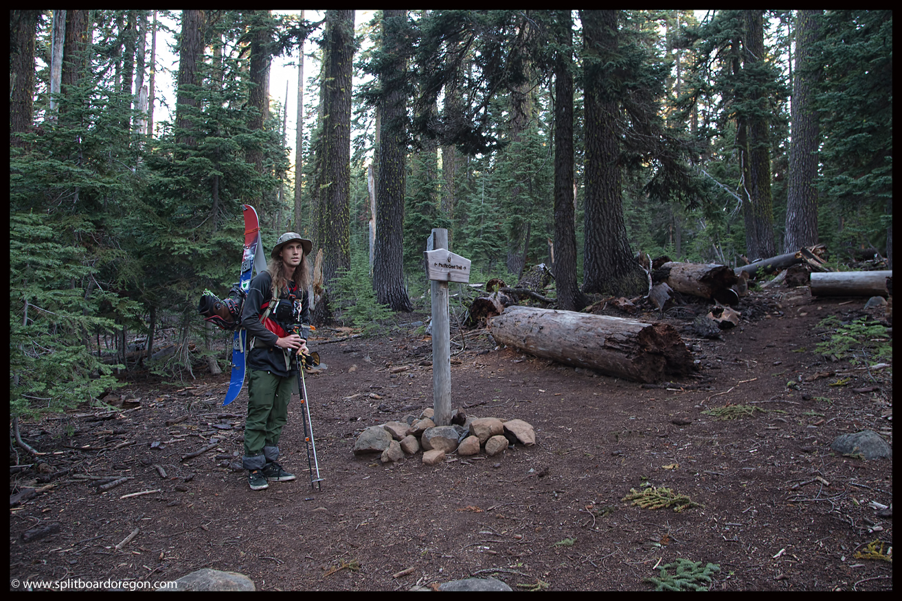
The next morning we were up before 5:00, and after a quick breakfast, shouldered packs and hit the trail by 5:30. 10 minutes up the trail I turned around to get my beacon (which wouldn’t be needed), and we were on our way by 5:45. Hiking the dirt trail was easy going, and soon we arrived at the junction with the PCT….
A few miles up the trail the hiking go a bit more difficult, with the dirt trail giving way to boulders along the east ridge. Patchy snow started around 6500-7000 feet, and we followed our noses up the ridge. Looking to the south, Mt Shasta was looming in the distance, looking really nice….
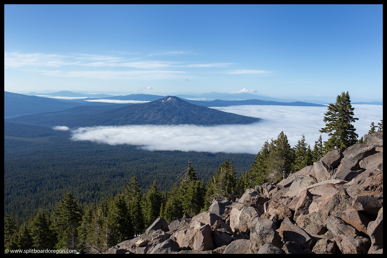
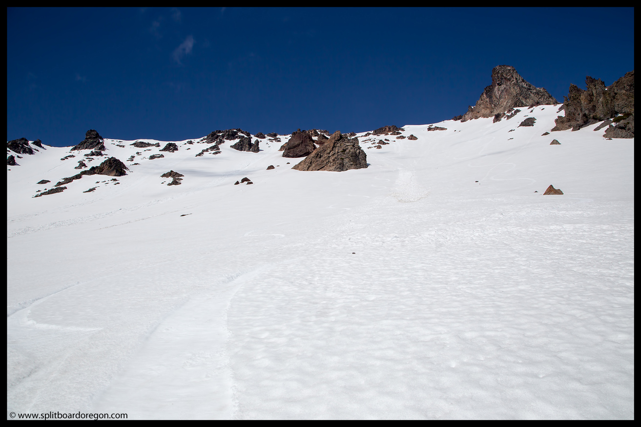
Eventually we made our way to a viewpoint overlooking the northeast bowl, getting a good view of our objective. Up to this point, both of us were a bit concerned by the lack of snow down low, and wondered if we’d made a mistake in choosing our objective for the day. With our fist good view of the bowl, it became clear we made a good choice.
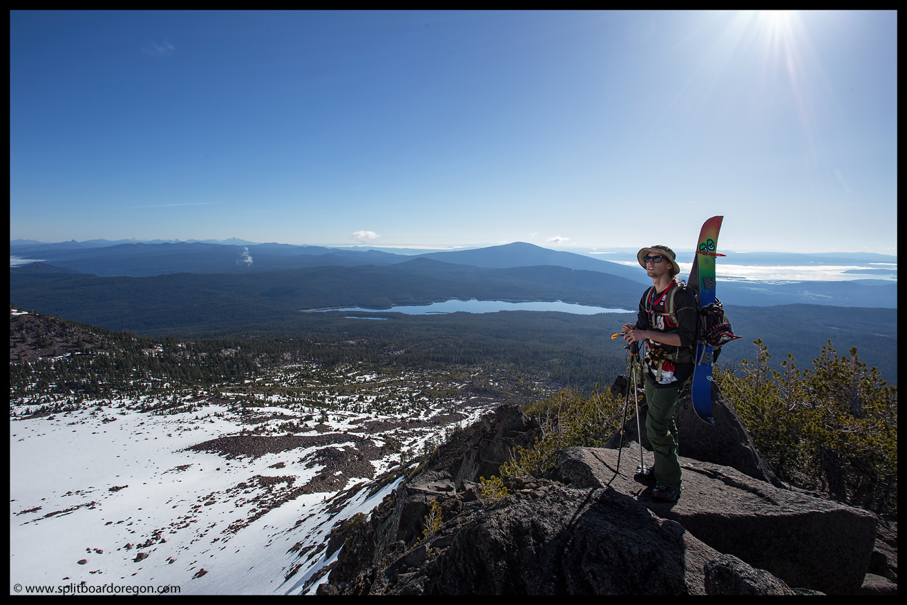
Continuing on up the ridge, we worked our way over to the southeast face, and were hoping there would be enough snow to skin to the summit, but it was apparent it would be easier to boot so we kept hiking, and put a bootpack in towards the summit.
By 9:30, we were standing on top of the peak, enjoying the 360 degree views from the top of southern Oregon’s highest peak. A cloud bank obscured the land to the western side of the mountain towards Medford, and made the views even better…..
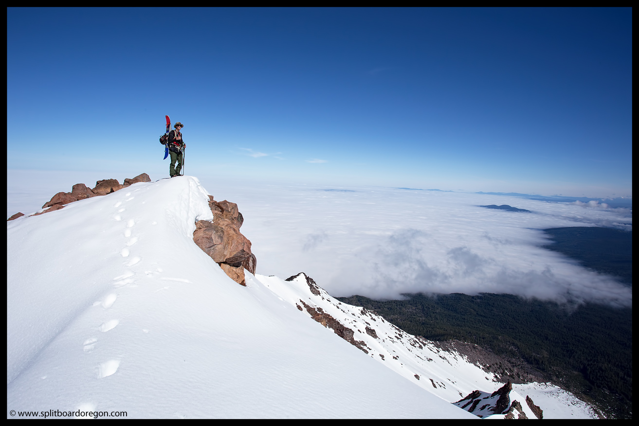
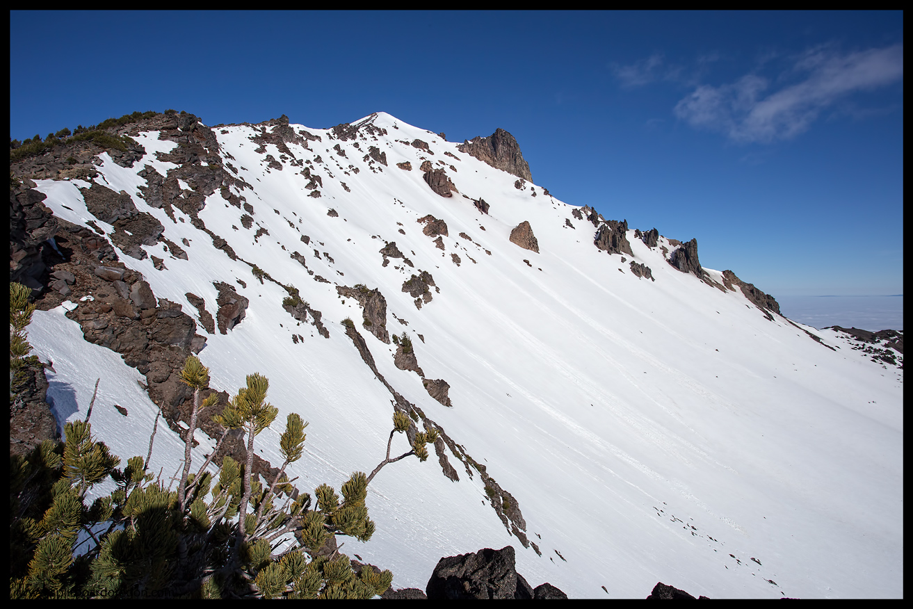
Looking down into the north bowl, I was tempted to drop in, but would have to wait for another trip. The coverage in the north bowl was excellent, and the slope angle perfect…..
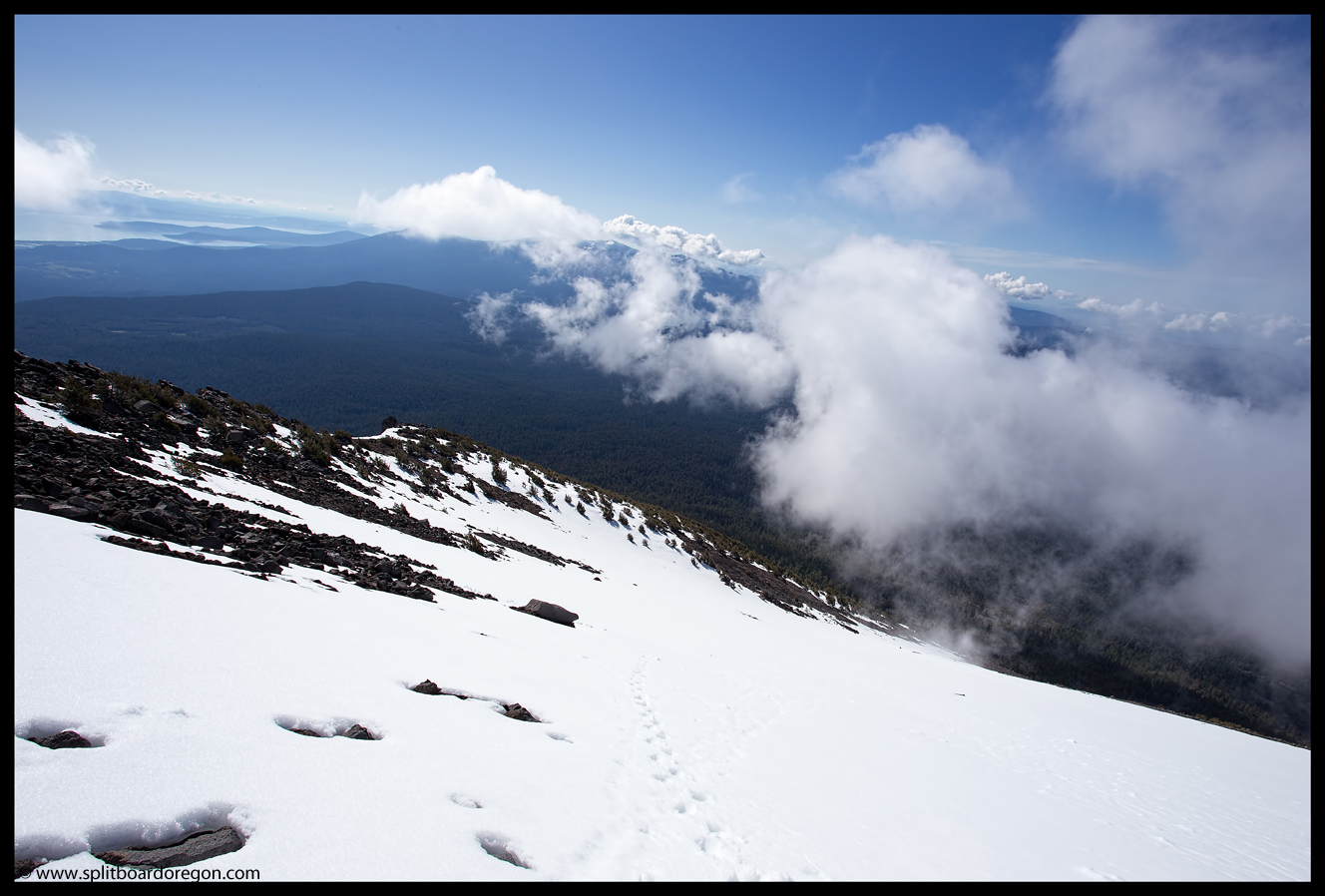
We sat around the summit for 20 minutes or so, soaking in the views. While we waited, a large cloud that had been building to the south started to encroach on our space, and we were a bit worried we might lose our visibility. That, coupled with the fact that the snow in the northeast bowl was ripe for harvest put us into gear to drop in.
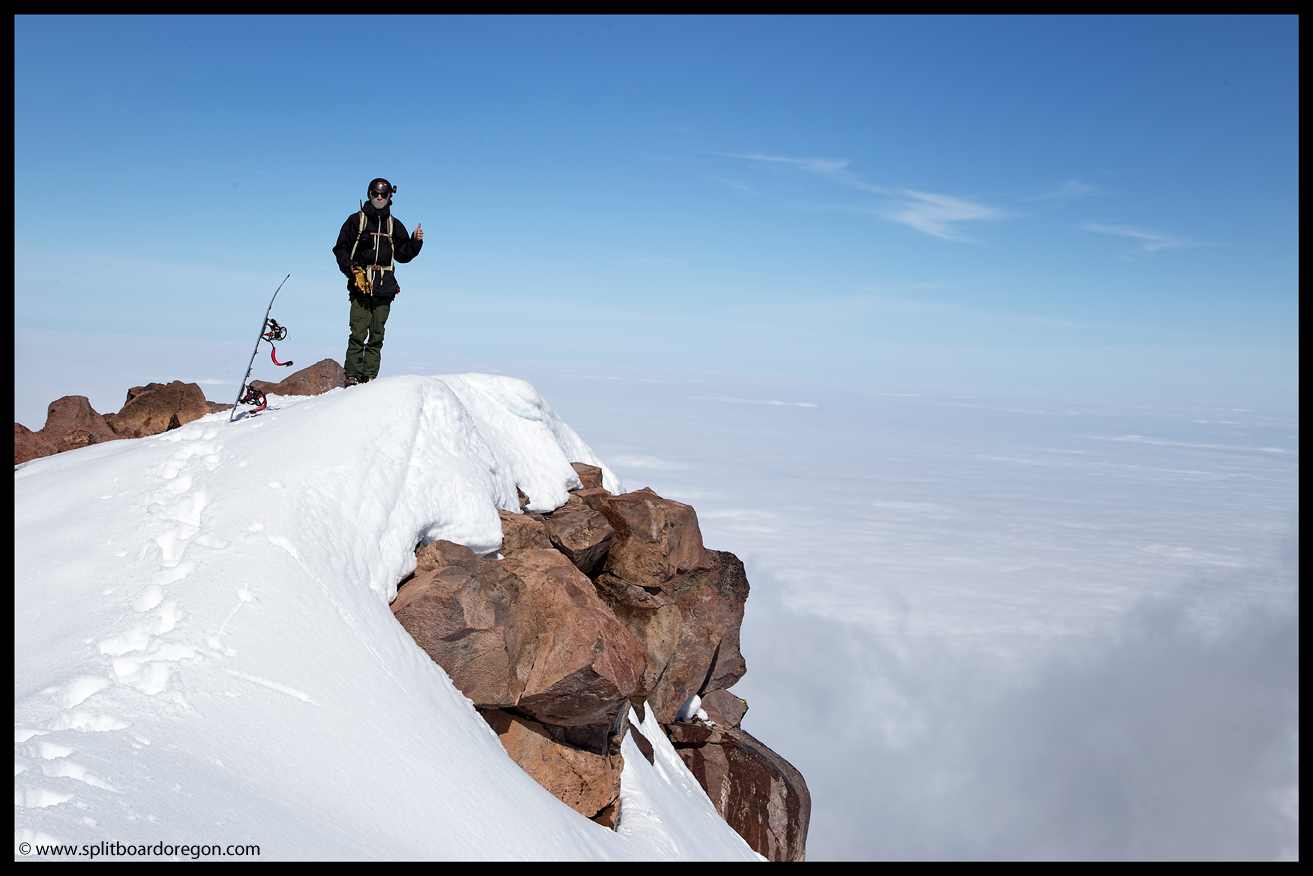
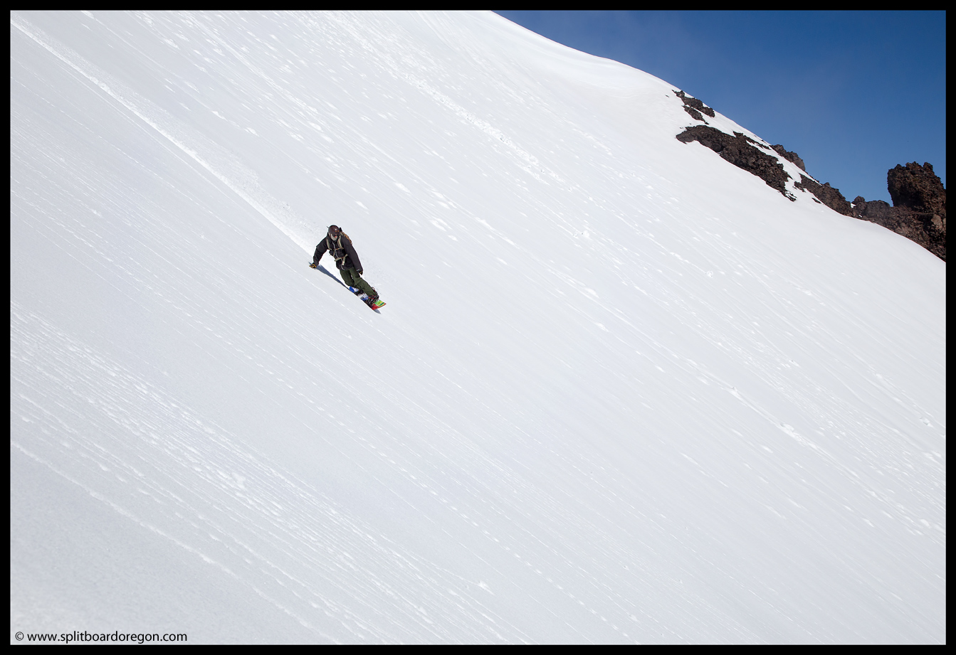
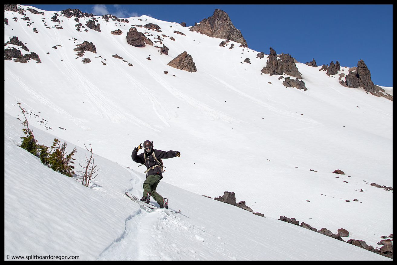
After discussing our line options, I dropped in first, slashing through the corn, and stopped at a point suitable for snapping a few pictures of Morgan. About that time our cloud obscured the view for a few minutes, so Morgan waited until it cleared, then proceeded to rip the bowl….
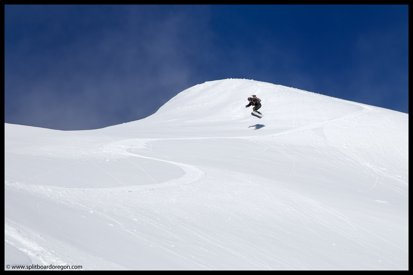
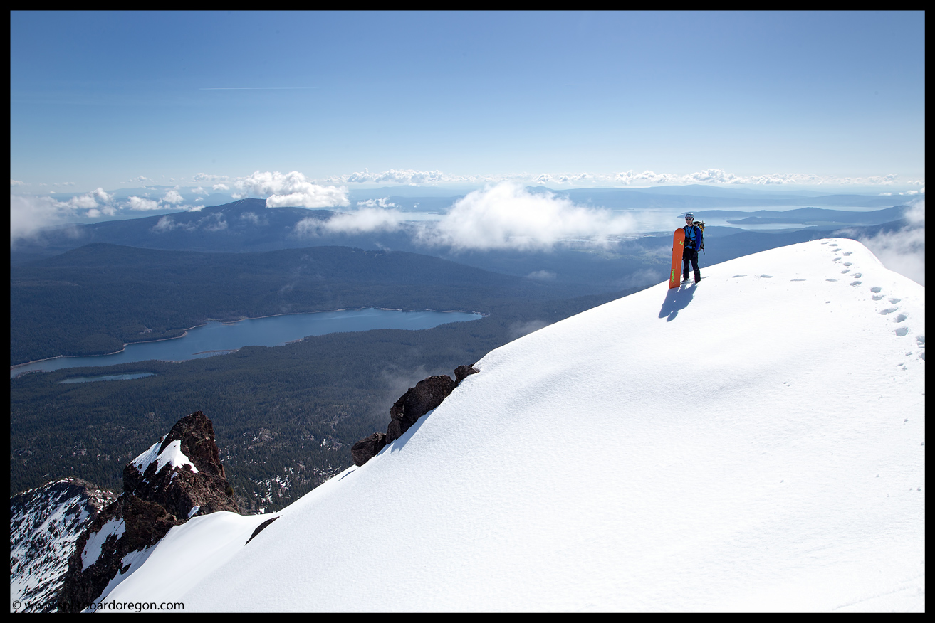
I snapped pictures while he ripped by me, and watched him shred the entire bowl top to bottom, enjoying over 2000 feet of choice turns. The picture below turned out nicely, with Morgan ripping through the gut of the bowl with Fourmile Lake in the background…
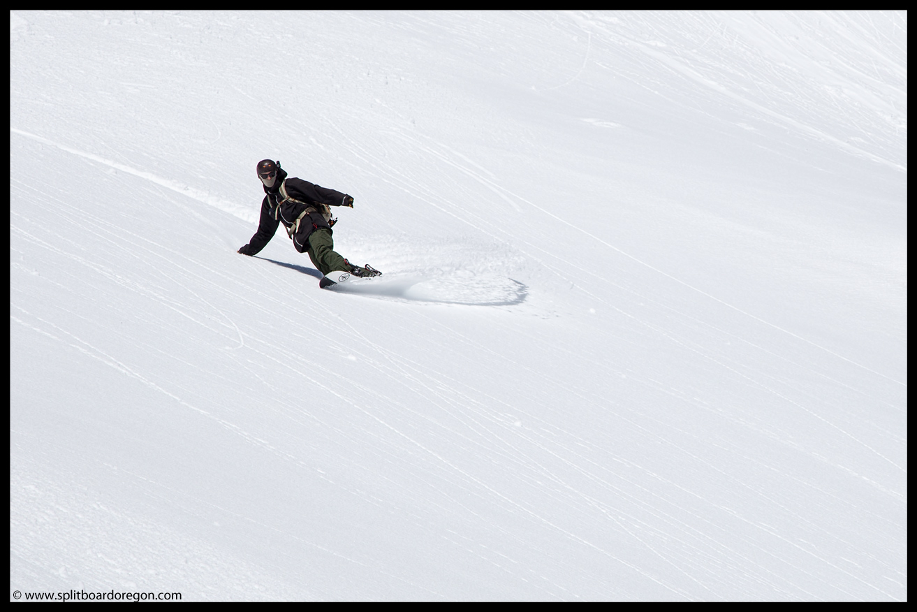
I watched Morgan cruise down to the flats below, where he became a small dot barely discernible from the rest of the rocks and trees below. I snapped one last picture looking down the bowl from my vantage point, then put the camera away and proceeded to enjoy my run down.
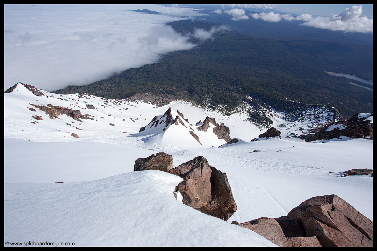
At the bottom of the bowl, we traversed riders right, and were able to milk another few hundred feet of turns down until the snow ran out. The snow at the bottom was pretty mushy, but still fun and we were happy to milk all that we could….
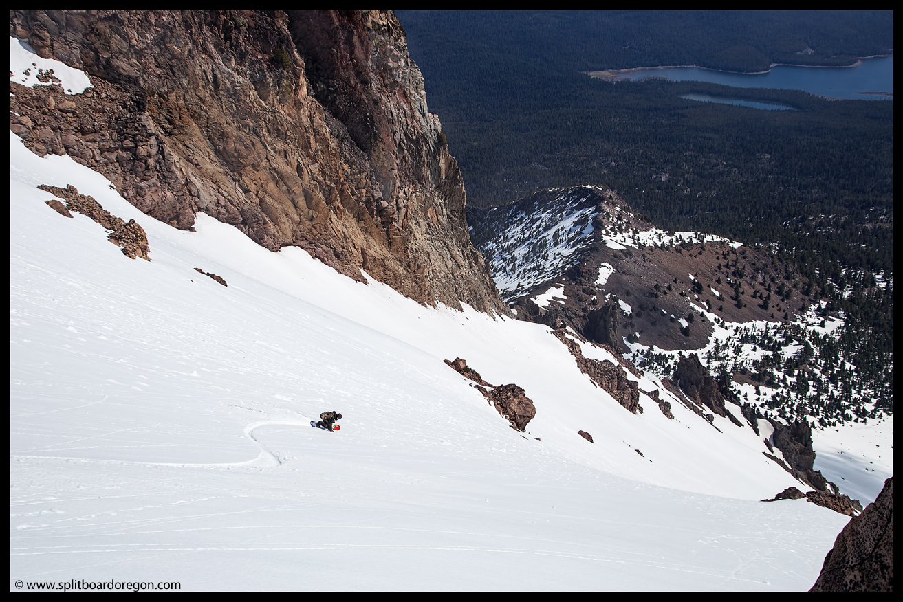
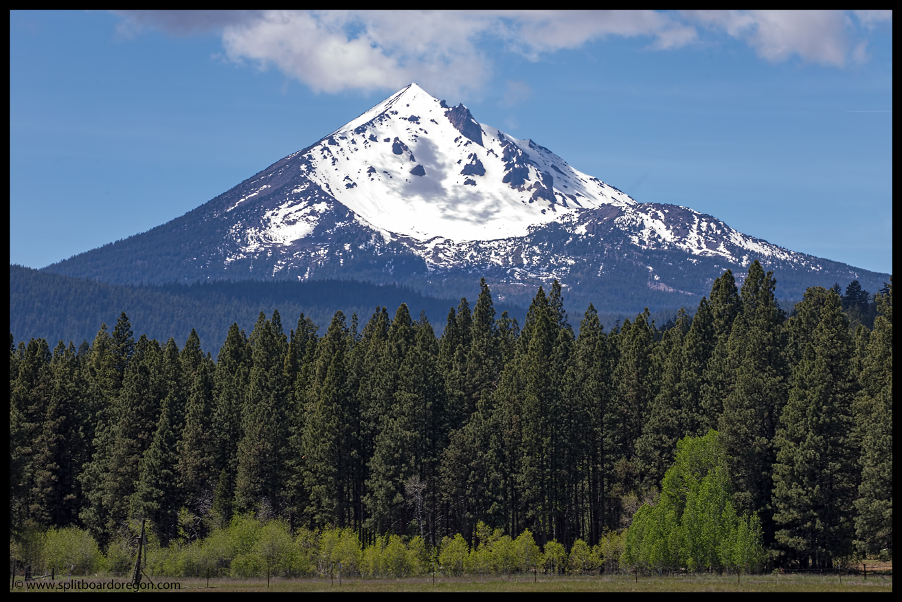
Once the snow ended, a short half mile traverse through the woods and lava rocks brought us back to the trail, and an hour or so later we were back a the car, enjoying a well earned beer, contemplating the mission for the following day. After lounging at the trailhead for a bit, I bid Morgan farewell, and headed down the highway towards Bend, with the Deschutes River as my objective for an afternoon of fly fishing. Before I made it to Highway 97, I pulled off the road and did a bit of exploring, and found a good place to snap a few pictures of McLoughlin’s northeast side….
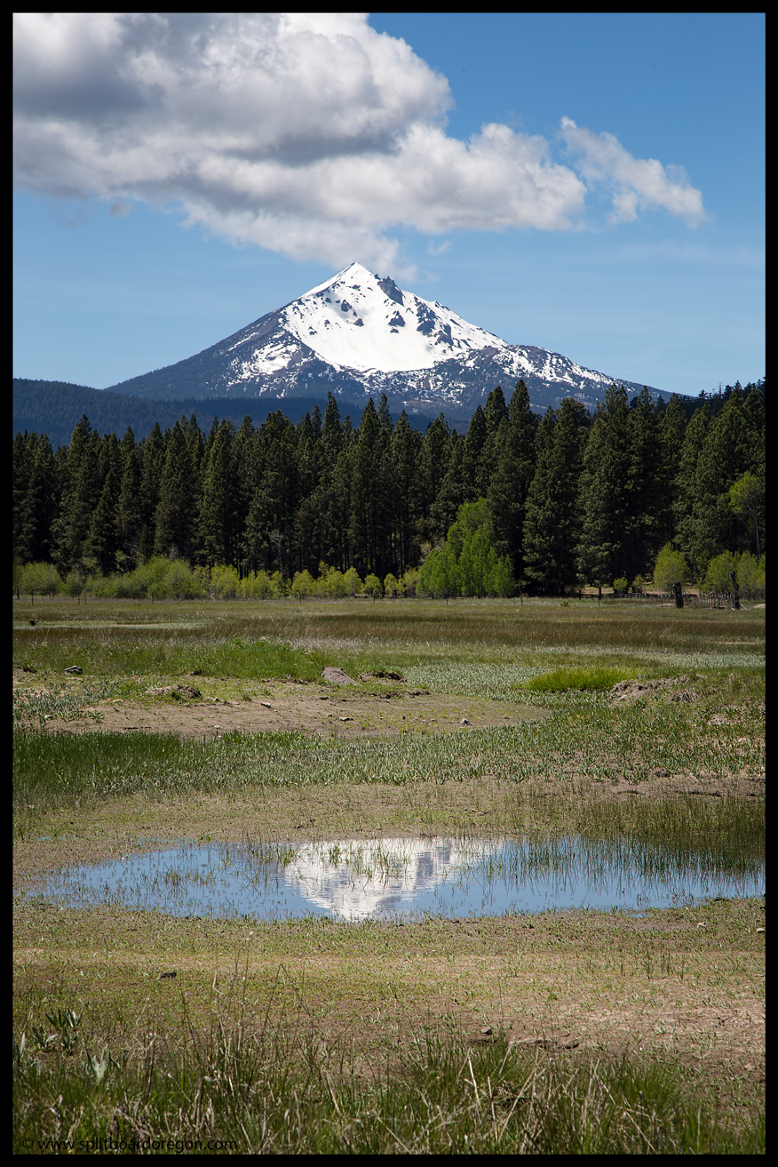
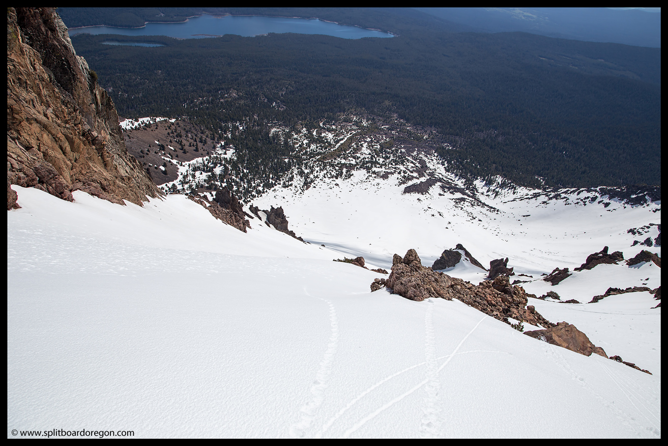
Having satisfied my urge for snapping photos, I headed on down the highway for an afternoon of fishing, with South Sister as the goal for Memorial Day. On the drive up I thought about how great Southern Oregon is — nice weather, awesome volcanoes and beautiful scenery….it doesn’t get much better! Here’s a parting shot from the day….